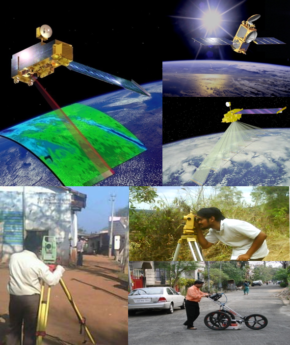
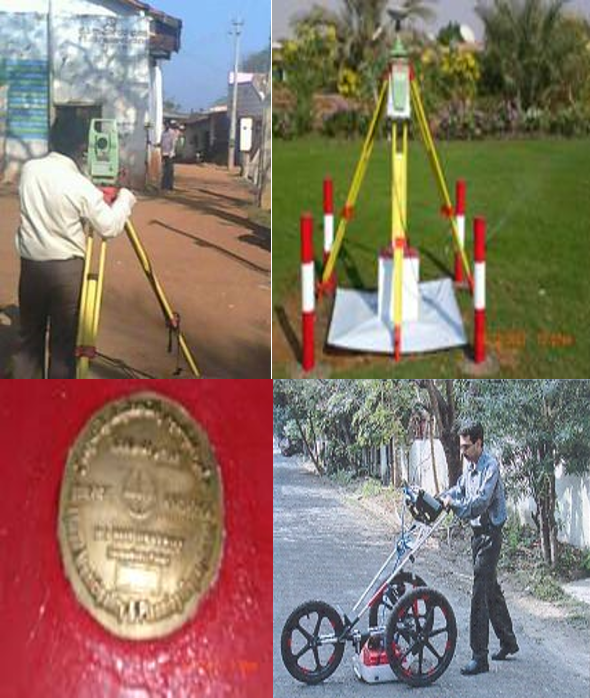
Surveying (DGPS, Total Station, Leveling)
Mapping (Photogrammetry – AT, DEM, Ortho, 2D and 3D
Mapping) from Aerial ,Drone and Satellite data
Cadastral Mapping
Underground Asset Survey – GPR, Pipe locator
LIDAR Processing – Classification, DSM/DTM generation.
Ortho Photo Generation :Ortho generation RGB (3 Band ) , 4 Band ,true ortho.
DGPS / Total Station & GPR Surveys
– Establish national control framework
– Property / Parcel Demarcation Surveys using GPS
– Asset Mapping and Inventory
– GPS surveys for photo control for AT
– Base GPS for Kinematic GPS processing for LIDAR, Camera etc
GPR Surveys: Underground Asset Mapping
Over ground
All utilities like Tel pole, Electrical Pole, Transformers etc.
Underground
Specialized survey using GPR for U/G asset mapping
Detects metals, ceramic materials etc.
Linked to GPS for Precise Location
Tracks pipes in terms of depth and diameter